Drone Photography Services
Explore our Professional Drone Services
Aerial Shots
Stunning Aerial Photography for Real Estate, etc
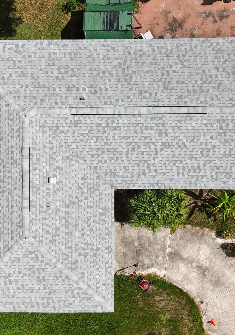
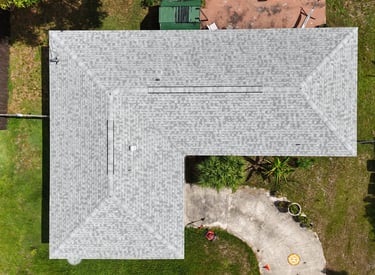
Drone Roof Inspection
Safe, quick and less stressful while saving you time.
Drone Mapping Service
(Non-survey grade)
$425 Mapping Capture (up to 25 acres)
$5/Acre Mapping Capture (after 25 acres)
$0.72/Travel cost for Mileage
$100/Airspace LANNC(Non-G airspace)
Roof Inspections
Drone Roof Inspection $125 (up to 2000/sqft) then 0.10/sqft > 2000sqft thereafter. (Non-Survey Grade)
3D Roof Model
3D roof model $360(Non-Survey Grade)
La Droneman shall not be obligated to photograph or video roof shingles or structures that are obstructed by tree limbs, power lines, or debris that could damage Client's property or Drone equipment. The Drone Pilot will document any such obstructions, and these obstructions shall in no way prevent the full payment for the services rendered by La Droneman. What we provide:
The weather contingency plan includes (rescheduling if unsafe to fly due to weather conditions)
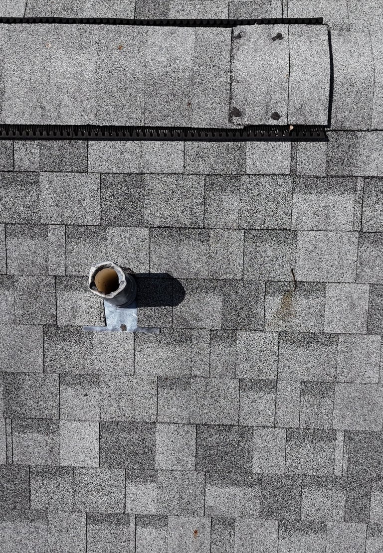
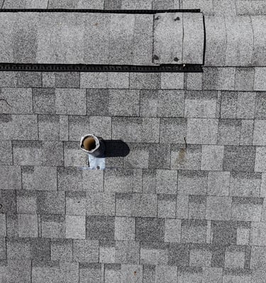
Drone imagery is good for showing missing/broken shingles, curling/lifted shingles, stains, algae, debris, and visible damage of vents, skylights, gutters, and flashing.
Drone imagery is not good at showing soft decking, leaks under shingles, trapped moisture below the surface, or any structural issues
Our flight operations will comply with FAA regulations for safety
Property must permit drone operations (I can help coordinate approval for Non-G Airspace/but not HOAs)
Final deliverables within 1 week of the date of service
Copyright and usage rights can be shared between the Client and La Droneman upon Final payment
Terms of Service
FAQs
What is Aerial Photography?
Aerial Photography is the art and science of capturing images from above ground level—typically from aircraft, drones, helicopters, balloons, or even satellites.
Instead of shooting from eye level, photographers gain a bird's-eye view that reveals patterns, landscapes, and perspectives impossible to see from the ground. It's used for everything from mapping and surveying land to creating stunning artistic shots of coastlines, cities, and natural formations.
Do you cover events?
Yes, we can cover special events upon request. We will comply with FAA Drone rules for flying over people and moving vehicles. Note: FAA requires a special waiver approval for situations involving people or vehicles, which is usually time-sensitive.
What areas do you serve?
Our services are primarily available throughout Palm Beach County, Florida.
How can I book a session?
Contact us to schedule or ask any questions about our services from our Contact page on our website.
What should I prepare?
Ensure the location is accessible and not dangerous pets are unsecured.
What about permissions and licenses?
We handle all necessary NOTAMs, LAANC, and COAs. But we will honor all FAA's rules and City and County ordinances.
LICENSING & USAGE RIGHTS
Client License use Includes:
Full rights to use all photos and videos for personal purposes
Share on social media, with family and friends
Print for personal keepsakes and albums
No restrictions on personal distribution
La Droneman retain copyright for portfolio/marketing use
La Droneman captured stunning aerial shots for my Tampa Bay property. Highly recommend!
Charmaine Blake, Realtor

★★★★★